


Engineering
AB/BS Interdisciplinary Physics
University of Michigan-Ann Arbor, United States
- Degree
- Bachelor's
- Next intake
- Fall and Winter terms

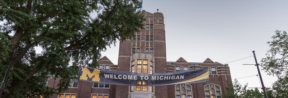

Engineering
University of Michigan-Ann Arbor, United States
The Spatial Analysis Certificate is a 12-credit programme covering theories, methods and tools for the spatial context of events and phenomena, including applied remote sensing and geographic information systems.
Faculty: School for Environment and Sustainability | Duration: 12 credit hours | Intake: Application deadlines November 1 and March 1 | Study mode: full-time | Location: Ann Arbor, MI, United States
Students choose a primary focus area (Applied Remote Sensing or GIS and Spatial Analysis), complete two courses in it including a foundation course, and select remaining courses for breadth or depth; at least one course must come from outside the home unit and three credits may be replaced by a practicum.
SEAS certificates (faculty level): applicants must be enrolled in a master's or PhD programme at the University of Michigan with at least one semester of grades and a B average or better; submit the Rackham Dual Admission application (program code 01633), a one-page statement and a resume. Deadlines November 1 and March 1.
Requirements published at faculty level.
Intake: Application deadlines November 1 and March 1
Duration: 12 credit hours
Apply through the official page: https://rackham.umich.edu/admissions/applying/
Engineering
University of Michigan-Ann Arbor, United States
Engineering
University of Michigan-Ann Arbor, United States
Engineering
University of Michigan-Ann Arbor, United States
Engineering
University of Michigan-Ann Arbor, United States
Engineering
University of Michigan-Ann Arbor, United States
Engineering
University of Michigan-Ann Arbor, United States
Engineering
University of Michigan-Ann Arbor, United States
Engineering
University of Michigan-Ann Arbor, United States

Book a free consultation with our expert counsellors and take the first step towards your dream university.
Copyrights © 2026 StudyMapped. All rights reserved.

Enter your credentials to continue.
Join us and start your study abroad journey.