


Engineering
4+1 MS Environmental Earth Sciences
University of Connecticut, United States
- Degree
- Master's

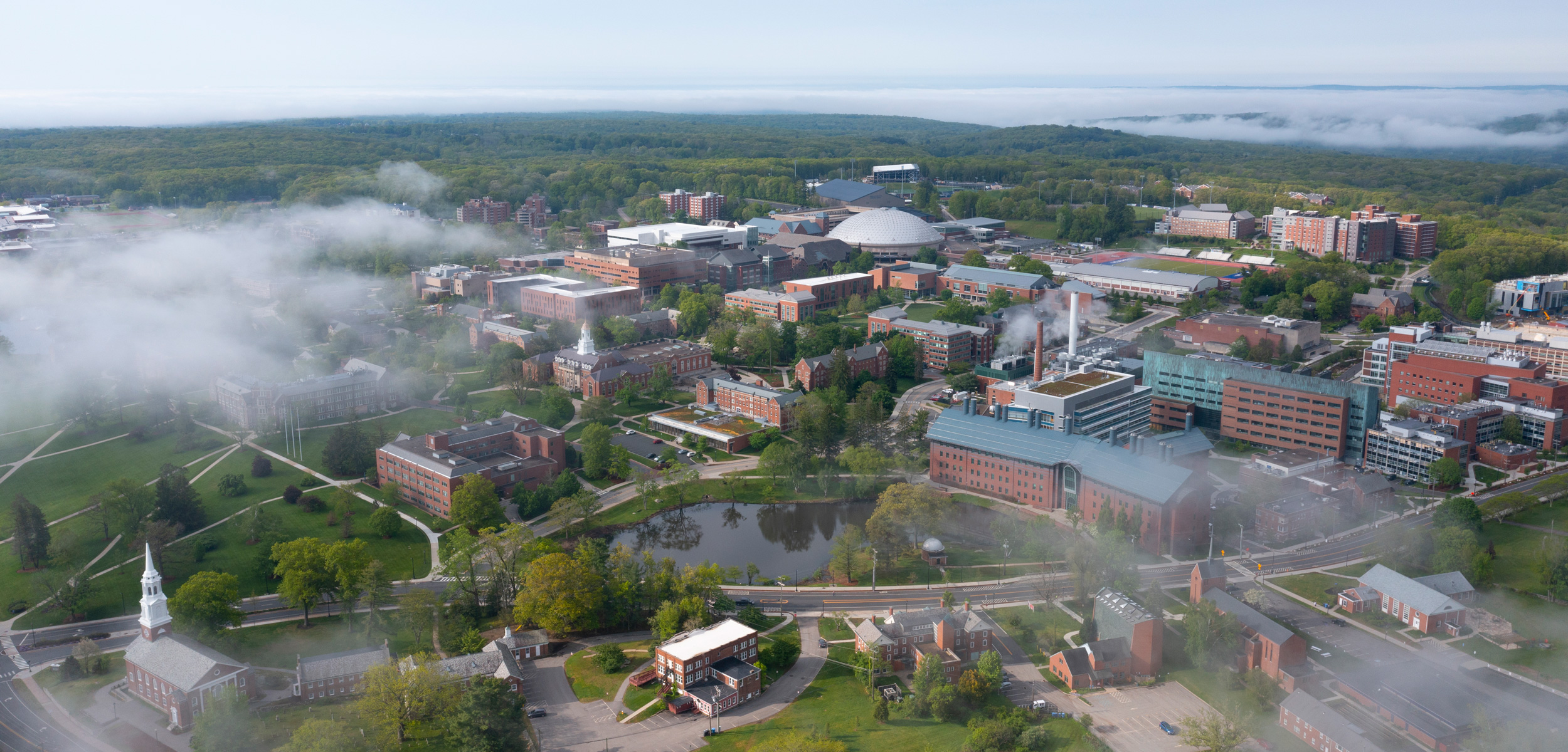
Engineering
University of Connecticut, United States
This is an online program offered by the Department of Natural Resources and the Environment. The Remote Sensing and Geospatial Data Analytics (RSGDA) program is designed for college graduates and graduate students looking to develop remote sensing knowledge and skills, and working professionals looking to enhance their skills or prepare for a graduate degree program. It takes about 12 to 18 months to complete. Campus: Storrs Campus.
Department: Department of Natural Resources and the Environment | Duration: 15 credits | Study mode: online | Location: Storrs, CT, United States
The program requires 12 credits total. Listed courses include Remote Sensing of the Environment; Remote Sensing Image Processing; EnviroAI: Artificial Intelligence Applications in Environmental Management.
Graduate School (university-wide): bachelor's degree from a regionally accredited institution (or equivalent); cumulative GPA of 3.0 or higher for the degree, or equivalent GPA tests on recent coursework; international applicants meet equivalent standards with official transcripts; individual programmes set additional application requirements and a competitive record is needed.
Tuition is charged per credit, so the total depends on the modules you register for each year. Current fees are listed in the official fee schedule.
Duration: 15 credits
Apply through the official page: https://gradcatalog.uconn.edu/graduate/admission/
Engineering
University of Connecticut, United States
Engineering
University of Connecticut, United States
Engineering
University of Connecticut, United States
Engineering
University of Connecticut, United States
Engineering
University of Connecticut, United States
Engineering
University of Connecticut, United States
Engineering
University of Connecticut, United States

Book a free consultation with our expert counsellors and take the first step towards your dream university.
Copyrights © 2026 StudyMapped. All rights reserved.

Enter your credentials to continue.
Join us and start your study abroad journey.