


Arts & Humanities
Advanced Neuroimaging MRes
University College London (UCL), United Kingdom
- Degree
- Master's
- Next intake
- September 2027

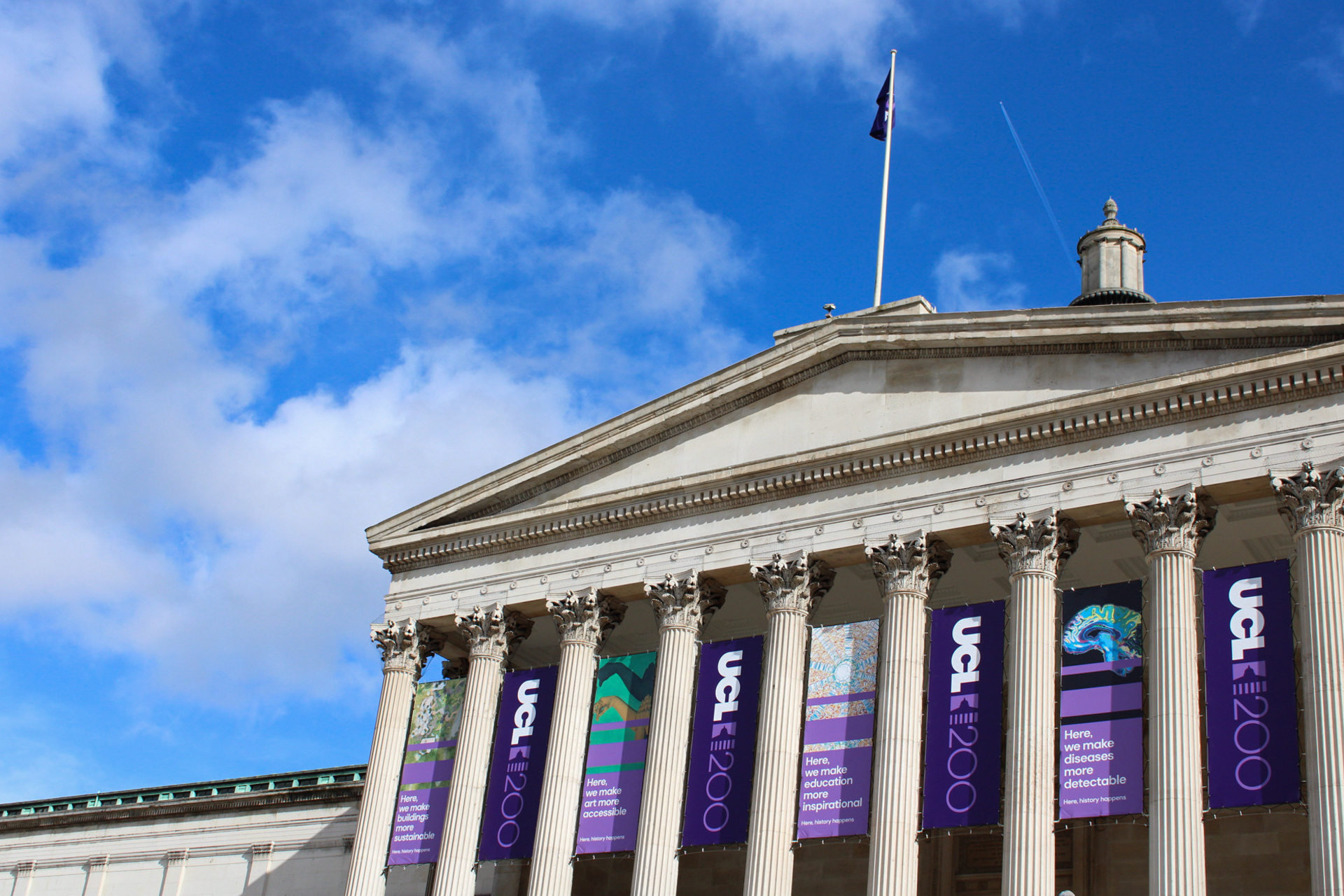

Arts & Humanities
University College London (UCL), United Kingdom
Advance your career in geospatial sciences with a focus on drone-based digital twins, Building Information Modelling (BIM) and surveying, with this one-year MSc at UCL.
Faculty: Faculty of Engineering Sciences | Duration: 1 calendar year; 2 calendar years | Study mode: full-time / part-time | Intake: September 2027 | Location: London, England, United Kingdom
The 4 modules of Term 1 give you a foundation in geospatial science and programming and in the computational and… Modules include: Geospatial Data Analysis and Professional Practice; Research Project; Reality Capture and Precision 3D Sensing; Geospatial Science; Sensors…
Students graduating with a Master’s in Geospatial Sciences Building Information Modelling will be equipped for a diverse…
A minimum of an upper second-class UK Bachelor’s degree in a relevant discipline (such as engineering, architecture, geography, urban planning, mathematics, surveying, marine and earth sciences, computer science) from a UK university or an overseas… English language requirement: UCL Level 1.
Domestic applicants: GBP 21,500 a year (2027/28) Source
International applicants: GBP 44,400 a year (2027/28) Source
Intake: September 2027
Duration: 1 calendar year; 2 calendar years
Apply through the official page: https://evision.ucl.ac.uk/urd/sits.urd/run/siw_ipp_lgn.login?process=siw_ipp_app&code1=TMSENG004501&code2=0001
Arts & Humanities
University College London (UCL), United Kingdom
Arts & Humanities
University College London (UCL), United Kingdom
Arts & Humanities
University College London (UCL), United Kingdom
Arts & Humanities
University College London (UCL), United Kingdom
Arts & Humanities
University College London (UCL), United Kingdom
Arts & Humanities
University College London (UCL), United Kingdom
Arts & Humanities
University College London (UCL), United Kingdom
Arts & Humanities
University College London (UCL), United Kingdom

Book a free consultation with our expert counsellors and take the first step towards your dream university.
Copyrights © 2026 StudyMapped. All rights reserved.

Enter your credentials to continue.
Join us and start your study abroad journey.