


Engineering
Licence Géographie et aménagement
Université Rennes 2, France
- Degree
- Bachelor's
- Next intake
- September

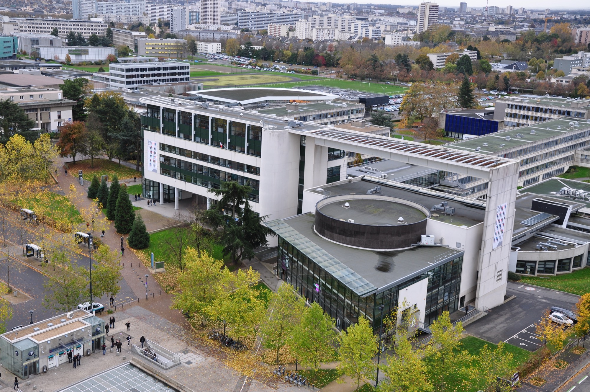

Engineering
Master training for over 20 years GIS professionals with excellent command of geomatic tools, concepts and methods applied to territorial issues (planning, urban planning, environment, mobility, energy, networks, geomarketing).
Faculty: UFR Sciences Sociales | Duration: 2 years (120 ECTS) | Study mode: full-time on campus; taught in French | Intake: September | Location: Rennes, Bretagne, France
The processing chain and life cycle of spatial data (acquisition, management, analysis, representation, dissemination and promotion) and geomatics project management, with spatial data production, territorial data and open data governance, mapping, webmapping and datavisualisation.
GIS and geomatics professionals.
Two stages: admissibility on an online dossier in spring, then interview before a jury of the teaching team after pre-selection. Capacity of 20. Apply via Mon Master.
EUR 255 a year (2026-2027). National annual registration fee set by the ministry; international students are charged the same rate following the university's partial exemption from differentiated fees. CVEC and other fees excluded. Source
Intake: September
Duration: 2 years (120 ECTS)
Apply through the official page: https://www.monmaster.gouv.fr/
Engineering
Université Rennes 2, France
Engineering
Université Rennes 2, France
Engineering
Université Rennes 2, France
Engineering
Université Rennes 2, France
Engineering
Université Rennes 2, France

Book a free consultation with our expert counsellors and take the first step towards your dream university.
Copyrights © 2026 StudyMapped. All rights reserved.

Enter your credentials to continue.
Join us and start your study abroad journey.