


Engineering
Licence Géographie et aménagement
Université Rennes 2, France
- Degree
- Bachelor's
- Next intake
- September

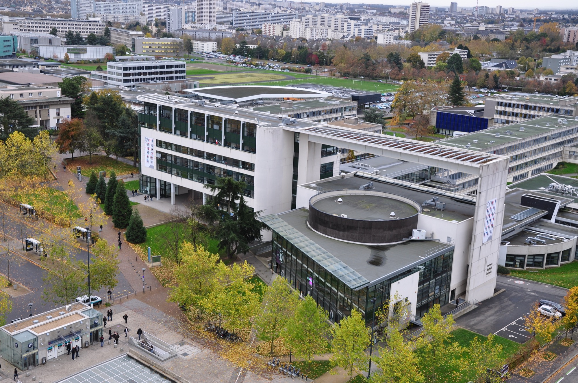

Engineering
Parcours co-accredited with AgroCampus Ouest and part of the ENS Rennes PhD Track, training professionals to understand environmental processes using spatial technologies and training for research in a labelled scientific context (LETG-Rennes, CNRS and UMR SAS, INRA).
Faculty: UFR Sciences Sociales | Duration: 2 years (120 ECTS) | Study mode: full-time on campus; taught in French | Intake: September | Location: Rennes, Bretagne, France
A double competence: spatial tools and methods (remote sensing, artificial intelligence, spatial analysis, GIS) and application domains in the environment (climate, hydrology, agronomy). Nine skills in three axes: environment, remote sensing and data.
M1 TELENVI on application file only (L1-L3 transcripts and proof of degree). To apply to the PhD Track Transition Environnementale, apply to the Sciences de l'eau master via Mon Master and state your interest in the letter.
EUR 255 a year (2026-2027). National annual registration fee set by the ministry; international students are charged the same rate following the university's partial exemption from differentiated fees. CVEC and other fees excluded. Source
Intake: September
Duration: 2 years (120 ECTS)
Apply through the official page: https://www.monmaster.gouv.fr/
Engineering
Université Rennes 2, France
Engineering
Université Rennes 2, France
Engineering
Université Rennes 2, France
Engineering
Université Rennes 2, France
Engineering
Université Rennes 2, France

Book a free consultation with our expert counsellors and take the first step towards your dream university.
Copyrights © 2026 StudyMapped. All rights reserved.

Enter your credentials to continue.
Join us and start your study abroad journey.