
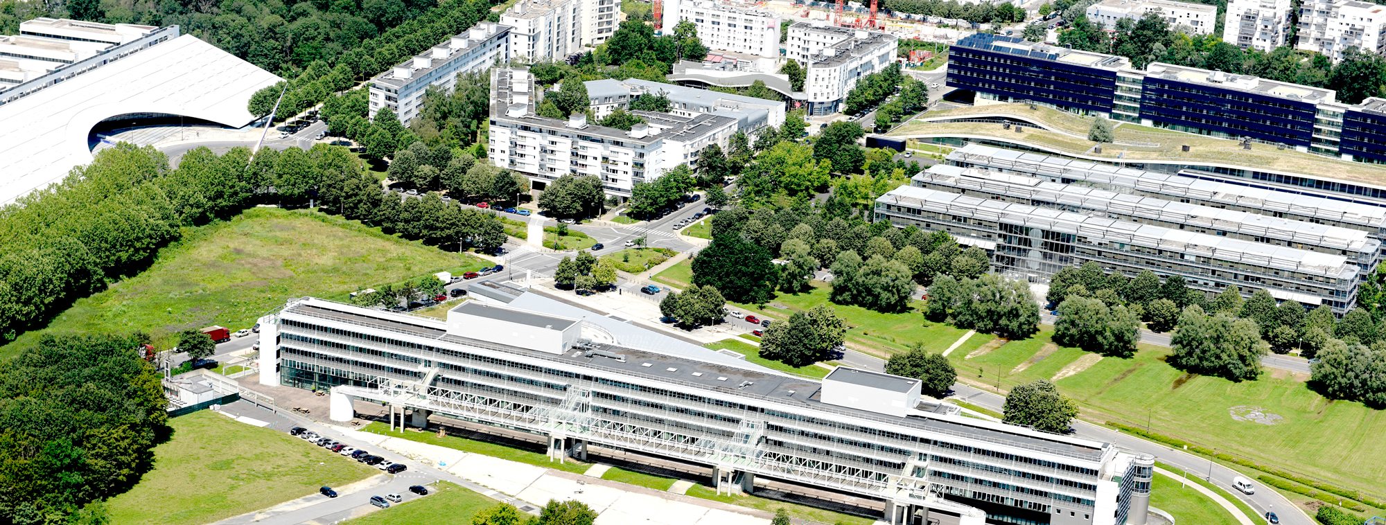

Engineering
Université Gustave Eiffel, France
Master in Geomatics, pathway Information Géographique: Analyse Spatiale et Télédétection (IGAST, M2), at the IGM. It trains geomaticians to design and implement methods for structuring, analysing and visualising geographic information, including satellite remote sensing. Location: Campus Marne la Vallée - Champs sur Marne, Ecole Nationale des Sciences Géographiques (ENSG) Campus Marne la Vallée - Champs sur Marne - Bâtiment Copernic.
Faculty: Institut d'électronique et d'informatique Gaspard Monge (IGM) | Department: Géomatique | Duration: 1 year (M2 only) | Study mode: continuing education; full-time (initial training); taught in French | Location: Champs-sur-Marne, Île-de-France, France
Image processing, physics of measurement, vector geographic information, geometric analysis and spatio-temporal dynamics.
Study engineer, research engineer or project manager roles; the master has a mixed professional and research orientation.
Students in scientific masters (physics, geomatics, computing) and master's students in geography, agronomy or planning with image-processing skills. Intake capacity: 22.
EUR 7,000 a year. Continuing-education tariff (adults returning to study); not the rate for initial-training students. Source
Duration: 1 year (M2 only)
Apply through the official page: https://candidatures.univ-eiffel.fr
Engineering
Université Gustave Eiffel, France
Engineering
Université Gustave Eiffel, France
Engineering
Université Gustave Eiffel, France
Engineering
Université Gustave Eiffel, France
Engineering
Université Gustave Eiffel, France
Engineering
Université Gustave Eiffel, France

Book a free consultation with our expert counsellors and take the first step towards your dream university.
Copyrights © 2026 StudyMapped. All rights reserved.

Enter your credentials to continue.
Join us and start your study abroad journey.


