

Engineering
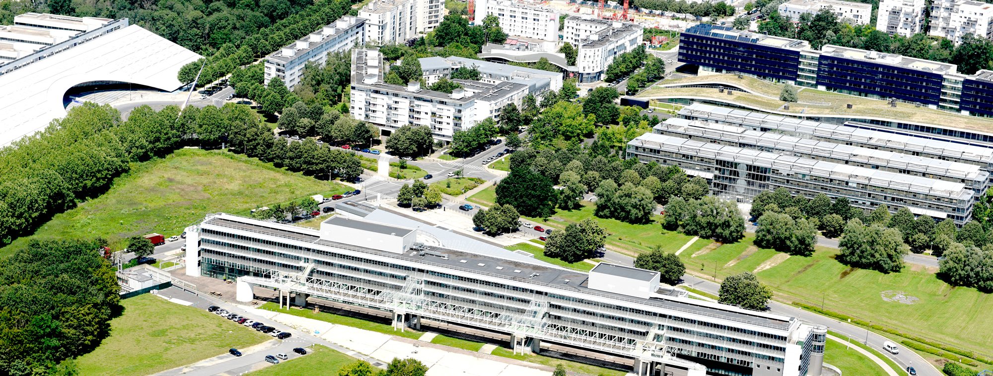
Université Gustave Eiffel, France
Three-year engineer diploma in geomatics at Géodata Paris in Champs-sur-Marne, CTI-accredited and listed in the RNCP. Graduates measure, analyse, model and represent places and the phenomena within them and run large GIS projects.
Faculty: Géodata Paris (ex ENSG-Géomatique) | Department: Diplôme d'ingénieur | Duration: 3 years | Study mode: full-time; taught in French | Location: Champs-sur-Marne, Île-de-France, France
First year builds a scientific base: mathematics and physical sciences (algebra and analysis, signal processing, graph theory, geometry, image formation), AI and data science (statistics, inference, data engineering, learning), general computing (algorithmic programming, open source and Linux, databases) and geomatics (coordinate reference systems and geodesy).
Roles in major GIS projects, ownership and project management in public and private organisations.
Admission by competitive exam (Mines-Télécom, BL-SES, G2E, EG@, Pass'ingénieur) or on file and interview for Licence, preparatory class and other applicants.
EUR 2,260 a year. Student status ('élève ingénieur'); 0 EUR for civil-servant engineer students and scholarship holders; organisation-funded students pay 11450 EUR per year. Tariffs stated as valid for the current academic year. Source
Duration: 3 years
Engineering
Université Gustave Eiffel, France
Engineering
Université Gustave Eiffel, France
Engineering
Université Gustave Eiffel, France
Engineering
Université Gustave Eiffel, France
Engineering
Université Gustave Eiffel, France
Engineering
Université Gustave Eiffel, France

Book a free consultation with our expert counsellors and take the first step towards your dream university.
Copyrights © 2026 StudyMapped. All rights reserved.

Enter your credentials to continue.
Join us and start your study abroad journey.


