

Engineering
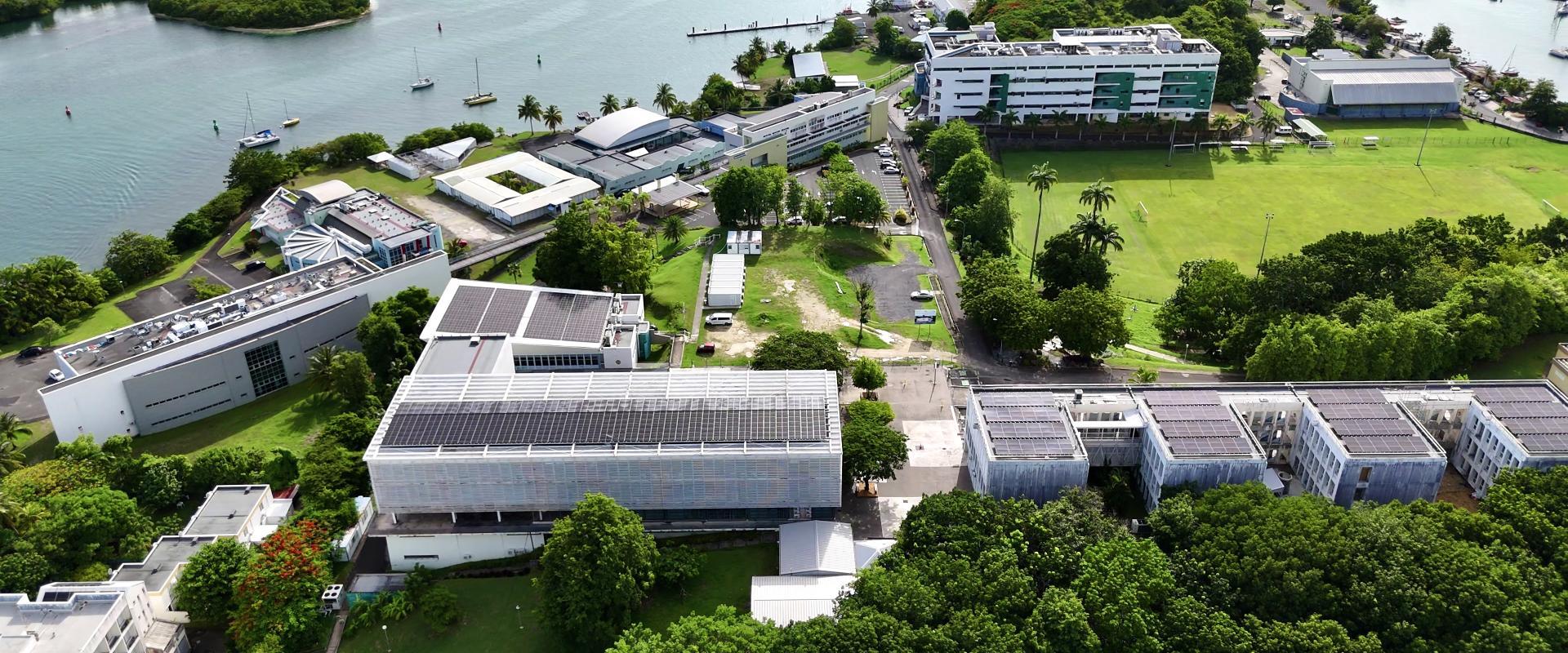
Université des Antilles, France
Master in Geography, Planning, Environment and Development, parcours Diagnostic territorial et gestion des espaces insulaires. A follow-on to the Geography licence that also welcomes other SHS licence holders; it builds in-depth knowledge of planning closely tied to socio-environmental constraints in the island Caribbean.
Faculty: Faculté Roger Toumson UFR des Humanités caribéennes (HC-FRT) | Duration: 2 years | Study mode: full-time | Location: Pointe-à-Pitre, Outre-mer, France
The two parcours are identical in master 1, with 175 face-to-face hours in each semester; they differ in master 2.
The Master ADEI trains project officers, study officers, project managers, consultants and engineers in spatial planning, territorial diagnosis and related fields.
L3, mainly L3 Geography and Planning but also L3 Urban Planning and/or Environment; validation of experience (VAE) after the teaching committee's opinion.
Duration: 2 years
Engineering
Université des Antilles, France
Engineering
Université des Antilles, France
Engineering
Université des Antilles, France
Engineering
Université des Antilles, France
Engineering
Université des Antilles, France
Engineering
Université des Antilles, France
Engineering
Université des Antilles, France

Book a free consultation with our expert counsellors and take the first step towards your dream university.
Copyrights © 2026 StudyMapped. All rights reserved.

Enter your credentials to continue.
Join us and start your study abroad journey.


