


Engineering
BA Sports Management
University of Potsdam, Germany
- Degree
- Bachelor's
- Next intake
- Winter semester

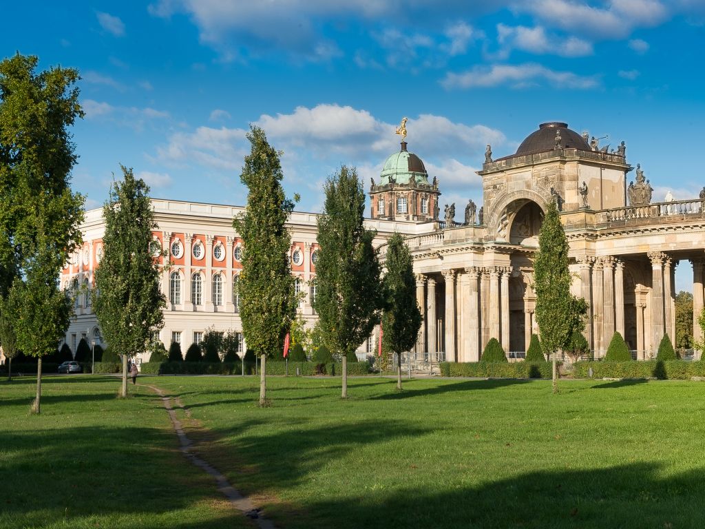
Engineering
University of Potsdam, Germany
An English-taught Master's programme developing advanced understanding of remote sensing in theory and practice.
Faculty: Faculty of Science (Mathematisch-Naturwissenschaftliche Fakultät) | Duration: 4 semesters (2 years) | Study mode: full-time; English-taught | Intake: Winter semester | Location: Potsdam, Brandenburg, Germany
Remote sensing, geoinformation and visualisation.
First degree in geosciences, geography, physics, mathematics, biology, environmental sciences, computer science or a related subject.
Intake: Winter semester
Duration: 4 semesters (2 years)
Apply through the official page: https://www.uni-potsdam.de/de/studium/zugang/bewerbung-master
Engineering
University of Potsdam, Germany
Engineering
University of Potsdam, Germany
Engineering
University of Potsdam, Germany
Engineering
University of Potsdam, Germany
Engineering
University of Potsdam, Germany
Engineering
University of Potsdam, Germany
Engineering
University of Potsdam, Germany

Book a free consultation with our expert counsellors and take the first step towards your dream university.
Copyrights © 2026 StudyMapped. All rights reserved.

Enter your credentials to continue.
Join us and start your study abroad journey.