


Engineering
BUT Génie Mécanique et Productique - Simulation numérique et réalité virtuelle
Université Toulouse - Jean Jaurès, France
- Degree
- Bachelor's

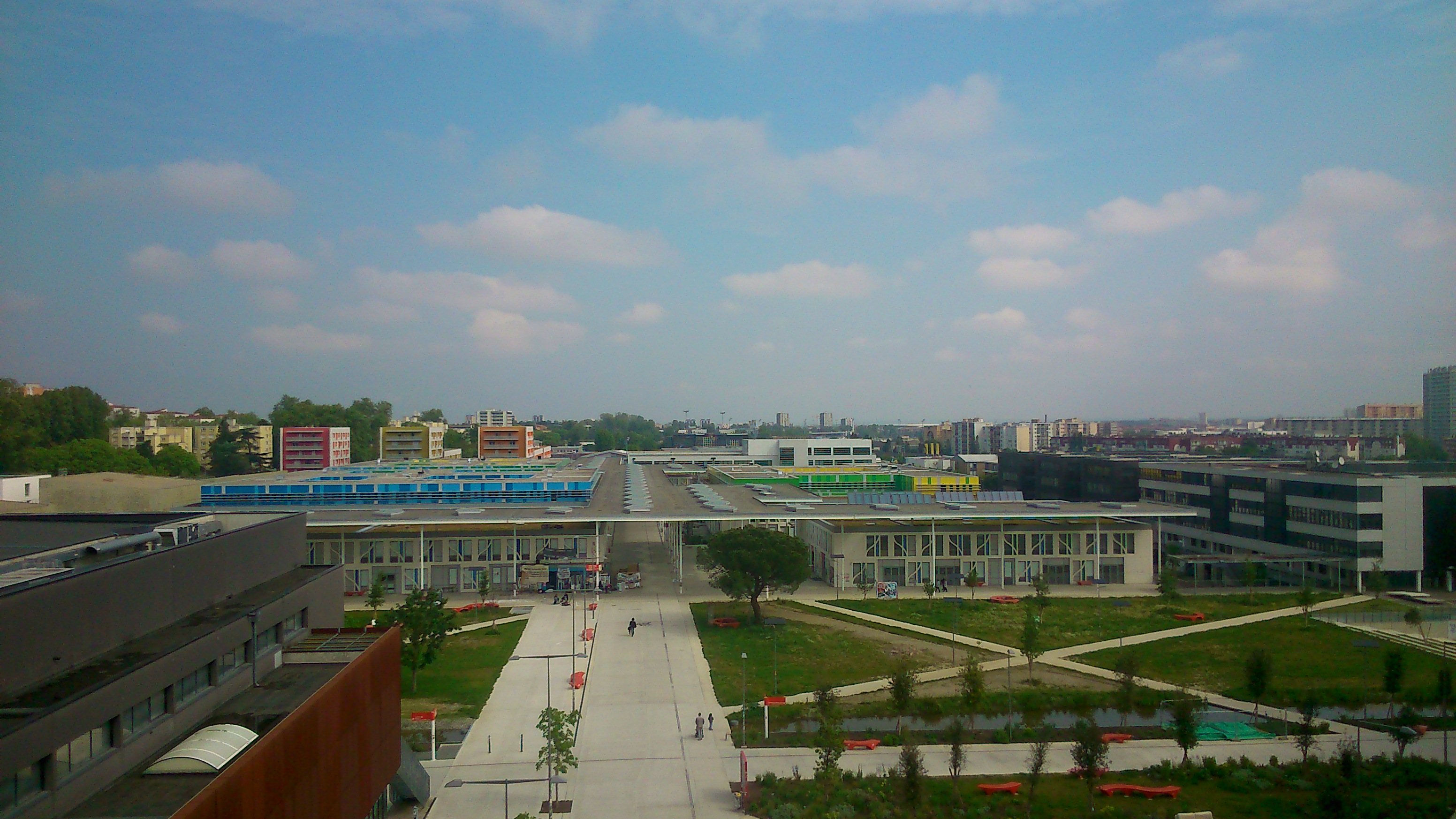

Engineering
Université Toulouse - Jean Jaurès, France
Master in Geomatics, SIGMA pathway (co-accredited), integrating the concepts, methods and tools of geomatics: GIS, remote sensing and image processing, algorithmics, programming, project management, webmapping, dataviz and data mining.
Faculty: Département Géographie, aménagement, environnement (Institut Daniel-Faucher) | Department: Département Géographie, aménagement, environnement (Institut Daniel-Faucher) | Duration: 2 years | Study mode: Full-time or work-study; taught in French | Location: Toulouse, Occitanie, France
Pedagogy combining technical excellence with reflective use of geomatic tools in application contexts.
GIS or geomatics officer, software or mobile-app developer, data scientist, GIS administrator, cartographer, study engineer, research officer.
Open to holders of a Licence in Geography and Planning, Computer Science or Earth Sciences, engineering-school students, or other bac+3 holders validated by the co-accredited institutions' commission. Application route: Master 1 applications through the national Mon Master platform; non-EU applicants apply through Études en France.
EUR 255 a year (2026-2027). National registration fee (droit de scolarité plus library fee) for the diploma level; the university does not apply differentiated fees to non-EU students. CVEC student contribution excluded. Source
Duration: 2 years
Apply through the official page: https://monmaster.gouv.fr
Engineering
Université Toulouse - Jean Jaurès, France
Engineering
Université Toulouse - Jean Jaurès, France
Engineering
Université Toulouse - Jean Jaurès, France
Engineering
Université Toulouse - Jean Jaurès, France
Engineering
Université Toulouse - Jean Jaurès, France
Engineering
Université Toulouse - Jean Jaurès, France
Engineering
Université Toulouse - Jean Jaurès, France
Engineering
Université Toulouse - Jean Jaurès, France

Book a free consultation with our expert counsellors and take the first step towards your dream university.
Copyrights © 2026 StudyMapped. All rights reserved.

Enter your credentials to continue.
Join us and start your study abroad journey.