

Arts & Humanities
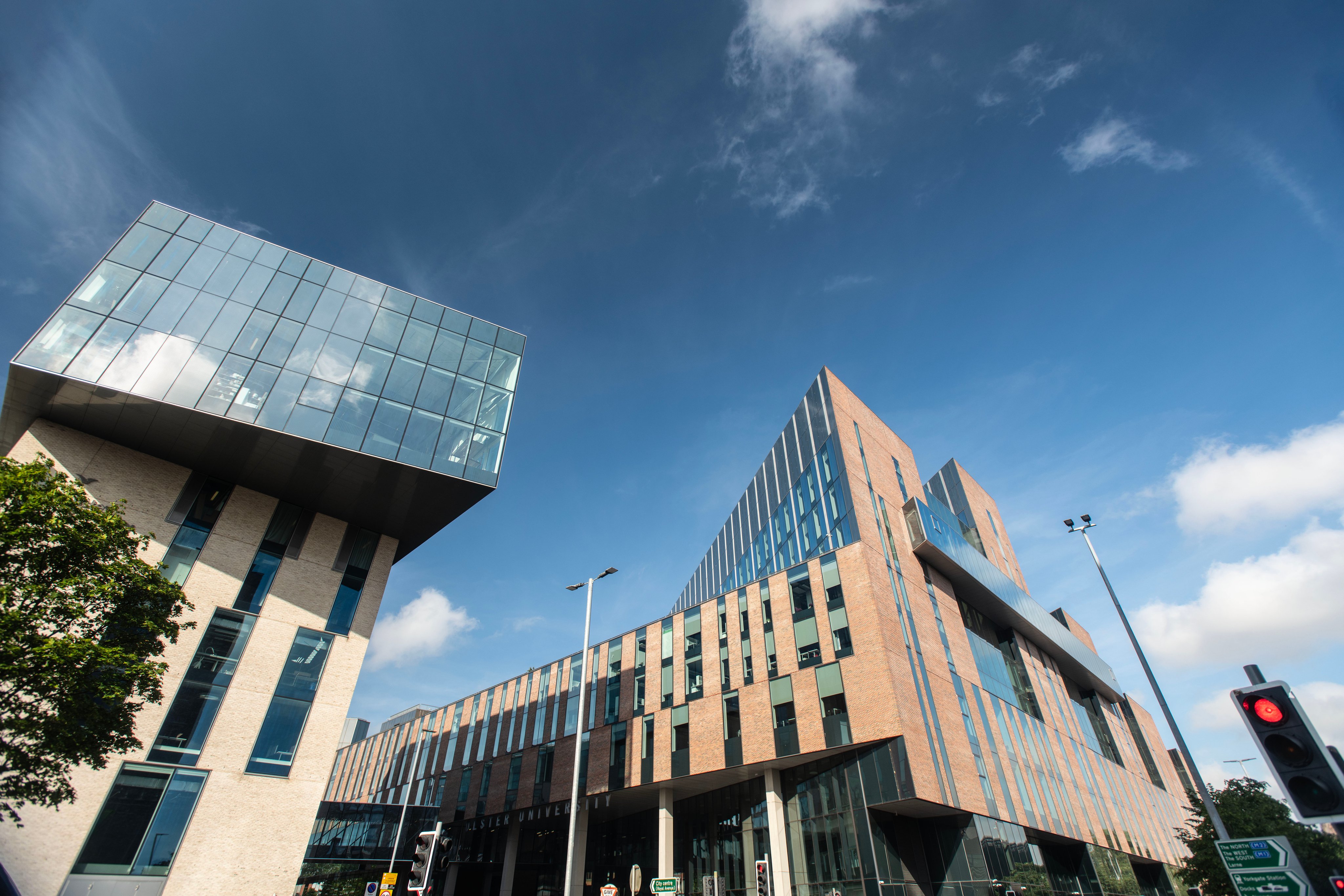
Ulster University, United Kingdom
A fully online postgraduate programme building GIS expertise through modules on GIS, remote sensing, spatial data management and databases, and web-based GIS. No visits to the university are required.
Duration: PgCert 3-4 months, PgDip 8 months, MSc 12 months (full-time) | Study mode: full-time / part-time | Location: Belfast, Northern Ireland, United Kingdom
Core areas include GIS, remote sensing, spatial data management and databases and web-based GIS; options include GIS work experience, spatial analysis and modelling, GIS for environmental management and customising GIS. Full-time students should expect 35-40 hours of study per week.
An Honours degree (2:2 or above) with a substantial component of geography, environmental science or computing; applicants with other equivalent qualifications or experience considered individually. International applicants: Academic IELTS 6.0 overall with no band score below 5.5 for international applicants.
International applicants: GBP 18,310 for the whole programme (2026/27). International fee; full MSc Source
Duration: PgCert 3-4 months, PgDip 8 months, MSc 12 months (full-time)
Arts & Humanities
Ulster University, United Kingdom
Arts & Humanities
Ulster University, United Kingdom

Book a free consultation with our expert counsellors and take the first step towards your dream university.
Copyrights © 2026 StudyMapped. All rights reserved.

Enter your credentials to continue.
Join us and start your study abroad journey.


