


Engineering
B.Sc. Architektur
Technische Universität Darmstadt, Germany
- Degree
- Bachelor's
- Next intake
- Winter semester

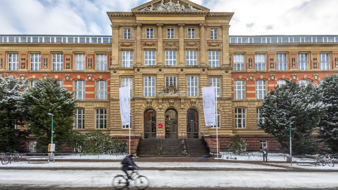

Engineering
Technische Universität Darmstadt, Germany
Four-semester, 120 credit point Master of Science in Geodesy and Geoinformation teaching methods to capture spatial changes of the world efficiently and to analyse and interpret the collected data, so that information can be used for sustainable solutions.
Faculty: Fachbereich Bau- und Umweltingenieurwissenschaften (FB 13) | Duration: 4 semesters (2 years) | Study mode: full-time; German-taught (some modules in English) | Intake: Winter and summer semester | Location: Darmstadt, Hessen, Germany
Methods of spatial data capture, analysis and interpretation (120 CP).
B.Sc. Bauingenieurwesen und Geodäsie – Ausrichtung Geodäsie at TU Darmstadt (reference programme) or an equivalent degree; passed entrance examination per the competence descriptions. No numerical admission limit if the requirements are met.
Intake: Winter and summer semester
Duration: 4 semesters (2 years)
Apply through the official page: https://www.tu-darmstadt.de/studieren/studieninteressierte/bewerbung_zulassung_tu/index.de.jsp
Engineering
Technische Universität Darmstadt, Germany
Engineering
Technische Universität Darmstadt, Germany
Engineering
Technische Universität Darmstadt, Germany
Engineering
Technische Universität Darmstadt, Germany
Engineering
Technische Universität Darmstadt, Germany
Engineering
Technische Universität Darmstadt, Germany
Engineering
Technische Universität Darmstadt, Germany
Engineering
Technische Universität Darmstadt, Germany

Book a free consultation with our expert counsellors and take the first step towards your dream university.
Copyrights © 2026 StudyMapped. All rights reserved.

Enter your credentials to continue.
Join us and start your study abroad journey.