


Engineering
Accelerated MASc Biomedical Engineering
McMaster University, Canada
- Degree
- Master's
- Next intake
- Graduate programmes accept applications for September, January and May admit terms; programmes liste

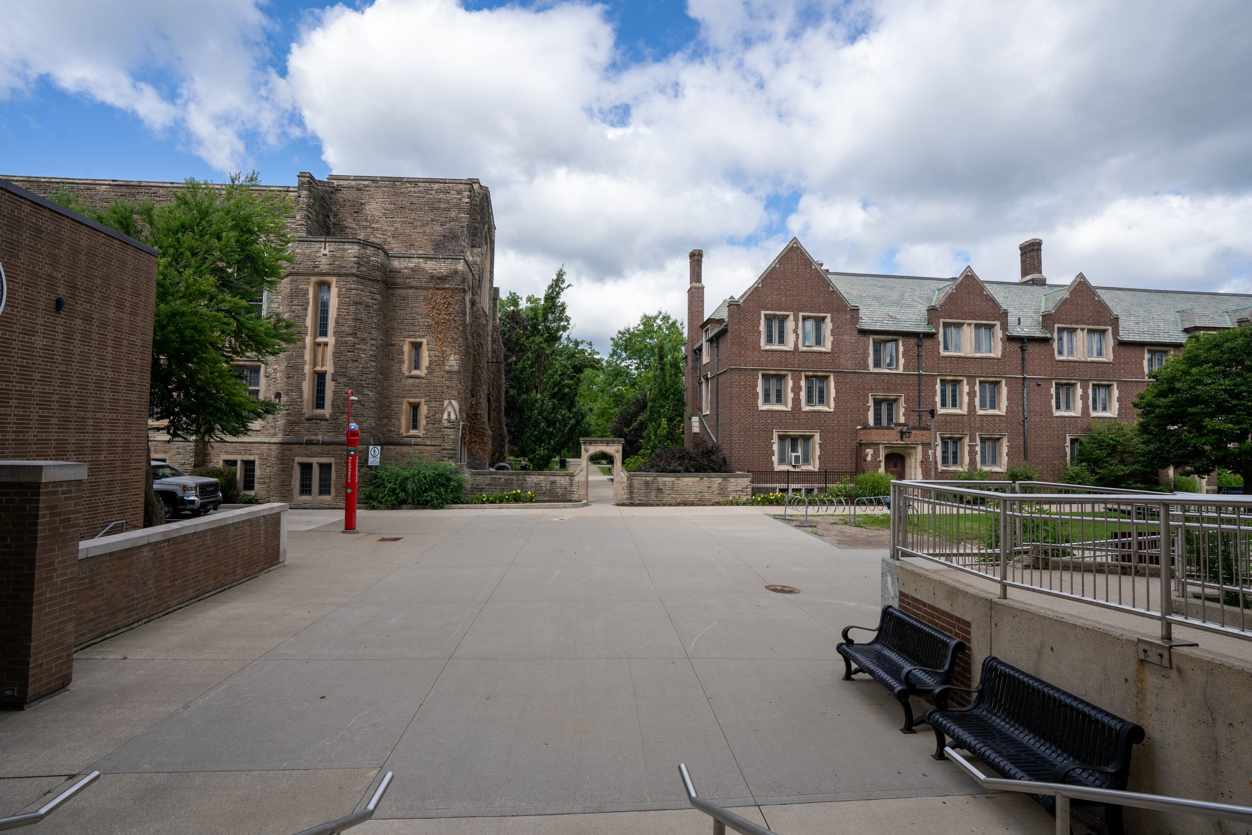

Engineering
The certificate trains students in the use and application of geographic information systems and remote sensing across disciplines such as environmental and earth sciences, geography, biology, anthropology, civil engineering, health science and business.
Faculty: Faculty of Science (School of Earth, Environment & Society) | Department: School of Earth, Environment & Society | Duration: 18 units: 12 required units and 6 units of electives. | Study mode: part-time | Location: Hamilton, Ontario, Canada
Required: ENVSOCTY 2GI3 Geographic Information Systems, 3GI3 Advanced Raster GIS, 3GV3 Advanced Vector GIS and 3SR3 Remote Sensing; plus 6 units from Applied Spatial Statistics, GIS Programming, Web GIS, Special Topics in GIS or Advanced Remote Sensing.
Open to any student enrolled in an undergraduate degree program at McMaster; the certificate is declared at the time of graduation once the course requirements are met.
Duration: 18 units: 12 required units and 6 units of electives.
Engineering
McMaster University, Canada
Engineering
McMaster University, Canada
Engineering
McMaster University, Canada
Engineering
McMaster University, Canada
Engineering
McMaster University, Canada
Engineering
McMaster University, Canada

Book a free consultation with our expert counsellors and take the first step towards your dream university.
Copyrights © 2026 StudyMapped. All rights reserved.

Enter your credentials to continue.
Join us and start your study abroad journey.