


Engineering
Artist Certificate in Performance and Pedagogy
Lakehead University, Canada
- Degree
- Other
- Next intake
- Lakehead has three intake periods: Fall (September), Winter (January) and Spring/Summer (May/July).

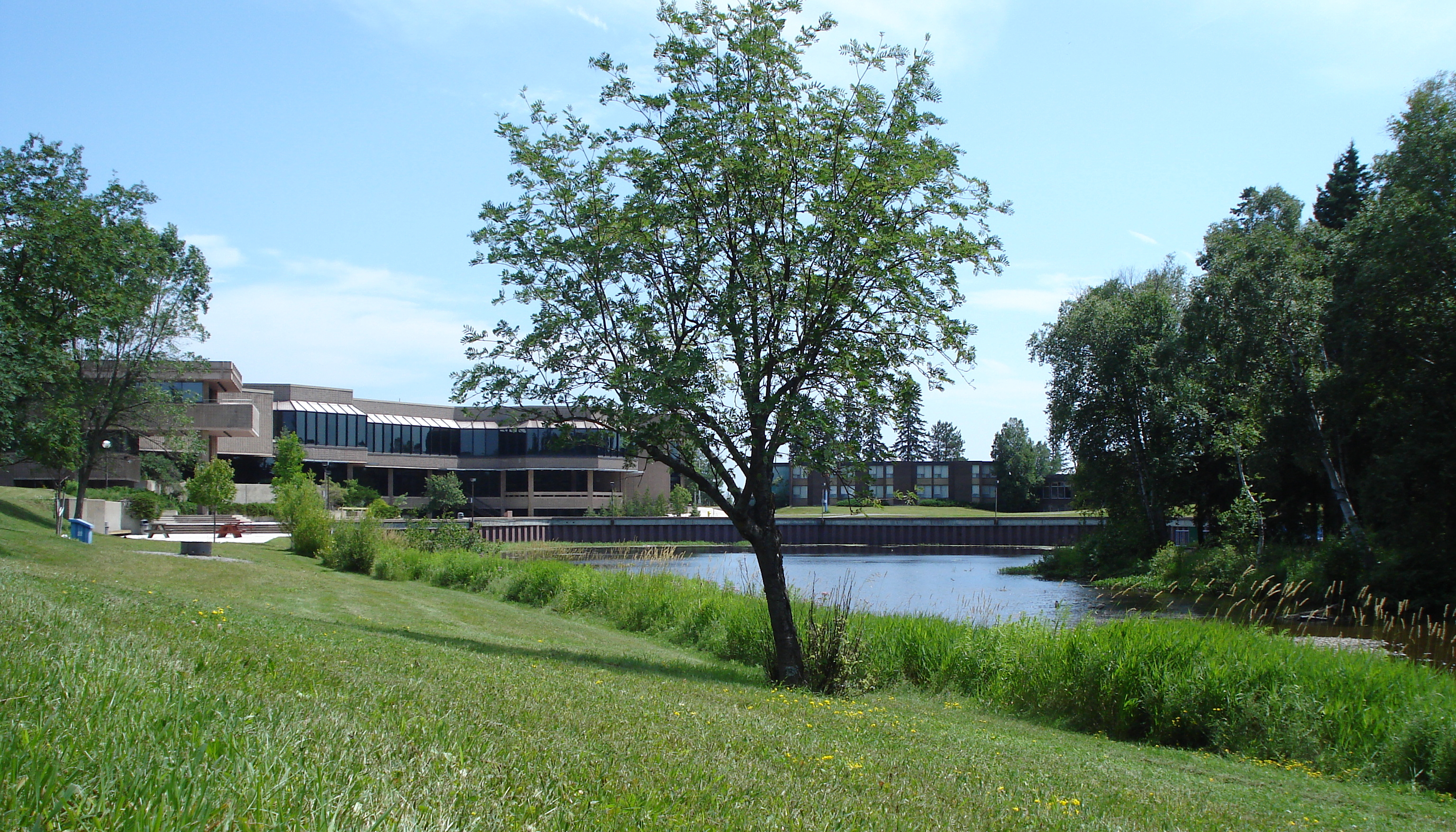

Engineering
Five courses in geographical information systems, photogrammetry and aerial photo interpretation, cartography, remote sensing and spatial analysis, giving an understanding of geospatial technologies; all courses include practical sessions.
Faculty: Science and Environmental Studies | Study mode: full-time | Location: Thunder Bay, Ontario, Canada
Introduction to Geomatics and GIS, Earth Observation and Analysis, Cartography, Advanced GIS and Spatial Analysis, Remote Sensing.
Open to students currently enrolled in any Lakehead program; overall average of 70% in the required courses.
Lakehead has three intake periods: Fall (September), Winter (January) and Spring/Summer (May/July).
Apply through the official page: https://www.lakeheadu.ca/future-students/admissions
Engineering
Lakehead University, Canada
Engineering
Lakehead University, Canada
Engineering
Lakehead University, Canada
Engineering
Lakehead University, Canada
Engineering
Lakehead University, Canada
Engineering
Lakehead University, Canada
Engineering
Lakehead University, Canada
Engineering
Lakehead University, Canada

Book a free consultation with our expert counsellors and take the first step towards your dream university.
Copyrights © 2026 StudyMapped. All rights reserved.

Enter your credentials to continue.
Join us and start your study abroad journey.