


Engineering
Advanced Diploma in Architectural Technology
Cape Peninsula University of Technology, South Africa
- Degree
- Diploma

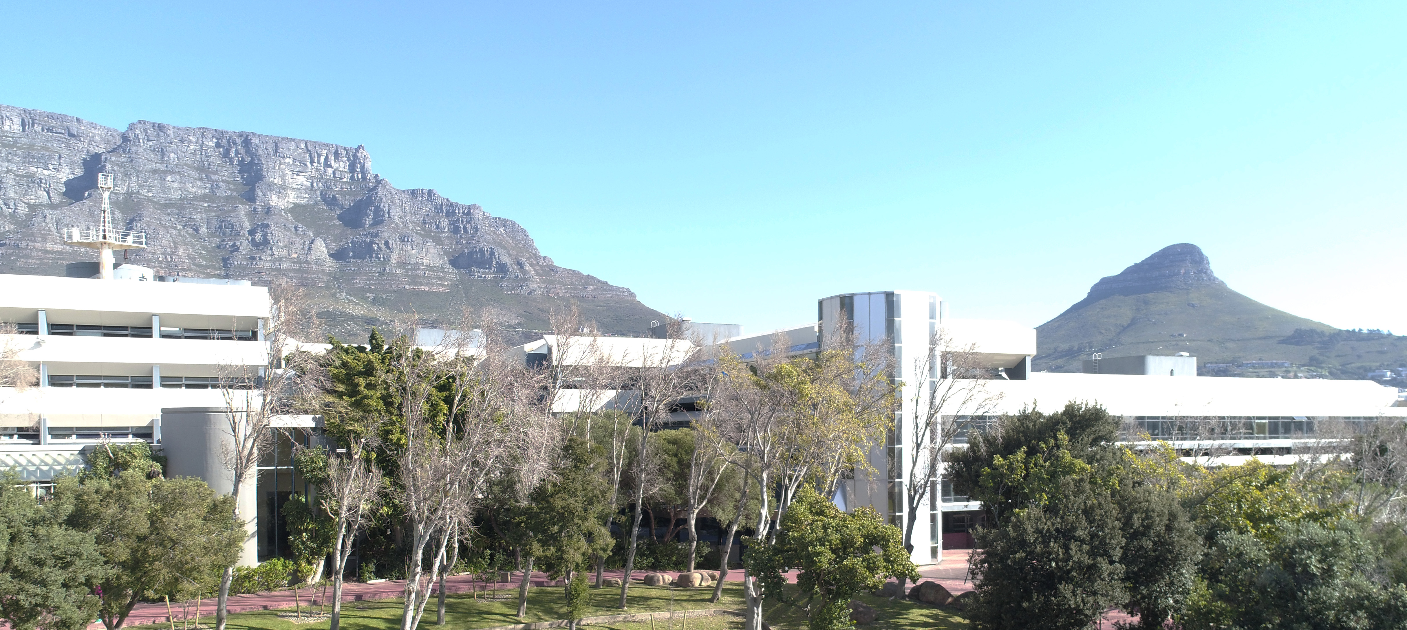

Engineering
Cape Peninsula University of Technology, South Africa
The aim of the course is to produce technologists for a career in geospatial science where they will work with spatial information. Graduates will be able to manipulate data and provide information about the earth to planners, engineers, environmental managers and commerce. Applicants should have an aptitude for mathematics, physical science and computers, good spatial perception, and an eye for detail. Offering type listed: FULL-TIME: BELLVILLE CAMPUS.
Faculty: Faculty of Engineering and the Built Environment | Department: Civil Engineering and Geomatics | Study mode: full-time | Location: Cape Town, Western Cape, South Africa
Subjects listed on the programme page include Communication Skills; Drawing; Geography; Mathematics 1A; Surveying 1A; Civil Engineering.
The Bachelor of Geomatics has two streams – Surveying and Geographic Information Science (GISc). The Surveying stream produces survey technologists and the GISc stream produces GISc technologists. • Surveying is the science of surveying (measuring) and mapping the face of the earth. Mapping forms the foundation of physical planning and land development. A survey technician is responsible for the collection, representation, analysis, management, and retrieval and modelling of spatial data (natural and man-made features on the earth), It involves field work for data capturing and computer data processing. You will work with geo-information technology, satellite imagery and remote sensing – to enable effective decision-making in areas from urban planning, management of natural resources and the environment, health to emergency services. • Geographical Information Science is the science of capturing, processing, analysing and mapping spatial data (information about the earth). Geographical Information Systems (GIS) technology is used to explore, visualise and analyse data. Computer-based systems bring advanced information management techniques to science, business and governments across the globe Survey or GIS technologists may open a practice and/or join a partnership with other technologists or professionals. Technologists may carry out survey or GIS work unsupervised and may also supervise and certify the work of technicians.
Minimum Admission Requirements: Note that meeting the minimum admission requirements does not guarantee admission. ----------------------------------------------------------- - NATIONAL SENIOR CERTIFICATE (NSC) APS Score of 36 using Method 2 (see table below) • English (First language) 5 (60%) • Maths 5 (60%) or Technical Maths 5 (60%) • Physical Science 5 (60%) or Technical Science 5 (60%) ----------------------------------------------------------- - NATIONAL CERTIFICATE (NC) English Language equivalent to the National Senior Certificate. • Maths (N4) 60% • Engineering Science (N4) 60% ----------------------------------------------------------- - NATIONAL CERTIFICATE VOCATIONAL (NCV) A National Certificate (Vocational) at level (4) • English (60%) • Maths (60%) • Engineering Science (60%) ----------------------------------------------------------- Alternatively, a completed Higher Certificate, or Advanced Certificate or National Diploma/Diploma/Diploma in Engineering Technology in Surveying/Cartography/Geomatics or cognate qualification may satisfy the minimum admission requirements.
Tuition is charged per module, so the total depends on the modules you register for each year. Current fees are listed in the official fee schedule.
Applications for the 2027 intake open on Monday, 11 May 2026. Closing date for bachelor's/bachelor of science programmes is 30 September 2026 for South African citizens and 31 August 2026 for non-South African citizens, with earlier dates for health programmes (30 June 2026 for Nursing, Medical Laboratory Science, Diagnostic Radiography, Diagnostic Ultrasound, Nuclear Medicine Technology and Radiation Therapy; 31 July 2026 for Emergency Medical Care and Opticianry).
The application fee is R110 (non-refundable); the late application fee is R160. A deposit of R1,750 is payable on acceptance and a registration fee of R785 applies.
Apply through the official page: https://www.cput.ac.za/study-at-cput/undergraduate/apply
Engineering
Cape Peninsula University of Technology, South Africa
Engineering
Cape Peninsula University of Technology, South Africa
Engineering
Cape Peninsula University of Technology, South Africa
Engineering
Cape Peninsula University of Technology, South Africa
Engineering
Cape Peninsula University of Technology, South Africa
Engineering
Cape Peninsula University of Technology, South Africa
Engineering
Cape Peninsula University of Technology, South Africa
Engineering
Cape Peninsula University of Technology, South Africa

Book a free consultation with our expert counsellors and take the first step towards your dream university.
Copyrights © 2026 StudyMapped. All rights reserved.

Enter your credentials to continue.
Join us and start your study abroad journey.